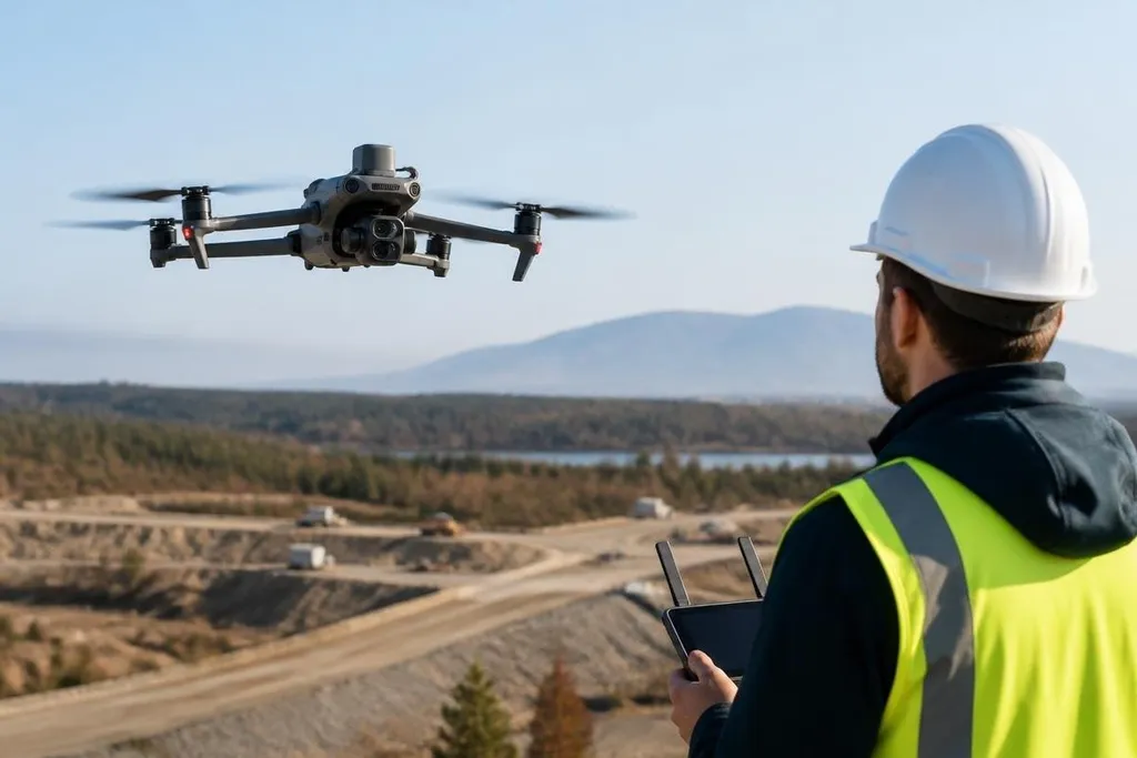
An autonomous drone can now process sensor data while flying, rather than waiting for every command from a remote pilot. That shift changes how the drone plans a route, spots objects, reacts to hazards, and reports what it finds.
- AI turns camera and LiDAR data into flight decisions.
- Onboard computing reduces the need for constant pilot input.
- Testing still matters because poor data can produce poor decisions.
From sensor data to flight decisions
A drone collects raw information through cameras, LiDAR, GPS, inertial sensors, and other hardware. AI software turns those inputs into a working view of the area around the aircraft, so the flight system can judge position, movement, and nearby objects.
Computer vision helps the drone identify features in camera images. LiDAR measures distance with laser pulses, which helps the aircraft build a map when lighting is poor. GPS gives location data, while an inertial measurement unit tracks movement through changes in speed and rotation.
The software then compares the new data with its planned route. If a tree, cable, vehicle, or person appears in the flight path, the drone can slow down, change direction, or stop when its rules call for that response. The exact result depends on the sensors, software, and safety limits set by the operator.
What changes during a mission
Without AI, many drones depend on fixed routes or frequent pilot commands. AI lets the flight system respond to conditions that were not written into one fixed route, though that does not remove the need for human oversight.
A drone inspecting a roof can use image software to flag damaged sections for later review.
When mapping a work site, the drone can adjust its path if an obstruction changes the planned route. During a search mission, it can sort images by signs of people or objects that match its search rules.
These tasks still need clear limits. The software may mistake glare for a surface defect, miss an object hidden by foliage, or classify an unfamiliar scene poorly. A system that works in daylight may need different settings for darkness, rain, dust, or snow.
A drone’s AI claim needs the flight setting, task, date, and result behind it. Autonomous drone reporting from Robot24.com can tie those details to the aircraft and software, which sets up the next question: where does the AI run?
AI on the drone or in the cloud
Some drones run AI models on onboard computers. This reduces the delay between sensing a hazard and reacting to it, and the aircraft can keep making decisions when the network connection drops.
Other systems send sensor data to a remote server. Cloud processing can support larger models and longer analysis, but it adds a network dependency. A weak connection can delay results, limit the mission, or leave the operator with less information during flight.
Many systems split the work. The drone handles flight safety and immediate object detection onboard, while a remote computer processes detailed images after the aircraft sends them back. That design matches the task to the available computing power.
I’d judge an autonomous drone by how it behaves after its plan stops matching the scene, not by a smooth flight through an empty test area.
The limits of AI flight
AI does not give a drone common sense. It finds patterns in data and uses rules or trained models to choose an action. If the training data leaves out a condition, the aircraft may respond poorly when that condition appears.
Safety also depends on the full system. A good model cannot fix a weak obstacle sensor, a poor battery estimate, a broken communications link, or a route that ignores local flight rules. Operators still need ways to stop the aircraft, review its decisions, and update its software.
Privacy adds another concern. Cameras and microphones can collect information about people who are not part of the mission. A responsible system needs limits on where it flies, what it records, how long it keeps that data, and who can view it.
A practical check before deployment
Use this list before judging whether an AI drone fits a job:
- Define the task: name the decision the drone must make and the result an operator needs.
- List the conditions: include darkness, weather, dust, weak GPS, blocked views, and lost network access where they apply.
- Check the sensors: match camera, LiDAR, GPS, and inertial data to the objects and distances the drone must detect.
- Set human control: decide when a person reviews, pauses, redirects, or ends the mission.
- Record failure cases: test missed objects, false alerts, low battery, sensor faults, and communication loss before routine use.
The useful question for the next deployment is narrow: which flight decision can AI make safely, with the sensors and backup controls the operator can actually support?